
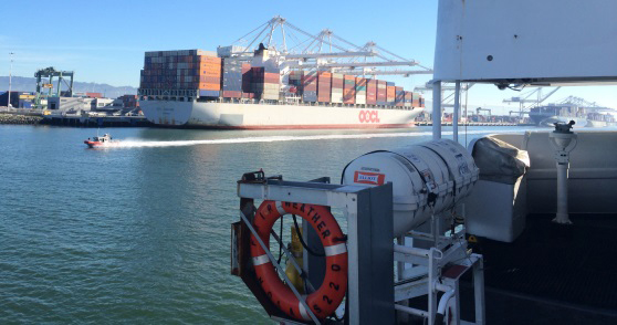
NOAA targets busy coastal areas for hydro surveys
NOAA survey ships are scheduled to survey nearly 1,800 square nautical miles in the U.S. coastal waters of the lower 48 states this year, collecting data that will update nautical charts for navigation and other uses. In Alaska, NOAA will increase Arctic operations, as we plan to acquire 12,000 nautical miles of "trackline" depth measurements of the U.S. Coast Guard's proposed shipping corridor. (See the NOAA announcement about the Arctic surveys.) The ships will also conduct several "full bottom" hydrographic survey projects, collecting over 2,800 square nautical miles of data at locations along the Alaskan coastline.
The Office of Coast Survey will manage the surveys that measure water depths and collect ocean floor data for charting, identifying navigational hazards, informing wind farm decisions, mapping fish habitats, and assisting with coastal resilience. Check the useful story map, 2015 Hydrographic Survey Projects, for the survey outlines and more information. We will update the map as weather and operational constraints dictate.
Briefly, this year's 13 NOAA hydrographic survey projects are:
1. Gulf of Maine, where chart soundings in heavily trafficked and fished areas are decades old and need updating for navigational safety
2. Buzzards Bay (Massachusetts and Rhode Island), where increased use of deeper-draft double-hull barges - and possible installation of marine transmission cable routes and wind energy development -- requires updated soundings
3. Rhode Island Sound, where the Bureau of Ocean Energy Management has identified a wind energy lease area
4. Approaches to Chesapeake (North Carolina), where charts of critical navigational areas need updating for navigation and to assist the Bureau of Ocean Energy Management manage windfarm activity
5. Approaches to Charleston (South Carolina), where updated soundings will provide the correct under-keel clearance information for the expected transit of larger and deeper-draft ships
6. Approaches to Savannah (Georgia), where the Savannah Harbor Expansion Project will increase the authorized depth of the harbor from 42 to 47 feet and updated soundings will provide the correct under-keel clearance information for the expected transit of larger and deeper-draft ships
7. Chatham Strait (Alaska), where charts need to be updated for cruise liners, ferries, Coast Guard cutters, Navy vessels, tugs, and barges that use this waterway on a regular basis or when avoiding storms in the Gulf of Alaska
8. Approaches to Kotzebue (Alaska), where deep-draft vessels have their cargo lightered to shore by shallow draft barges
9. Point Hope (Alaska), where shipping traffic is increasing due to receding ice but charted soundings are sparse and date back to the 1960s
10. West Prince of Wales Island (Alaska), where updated charts are needed by smaller vessels that use Televak Narrows as an alternate passage during foul weather
11. Shumagin Islands (Alaska), where Coast Survey needs data to create a new, larger scale, nautical chart
12. Port Clarence (Alaska), where Coast Survey needs data to create a new, larger scale, nautical chart
13. South Arctic Reconnaissance Route, where trackline data will assist consideration of the U.S. Coast Guard's proposed Bering Strait Port Access Route Study
14. North Coast of Kodiak Island, where we need to update charts for Kodiak's large fishing fleet and increasing levels of passenger vessel traffic.
TOP
|