Review: Navigators Assistant . . . Not Ready Yet
By Capt Thom Burns
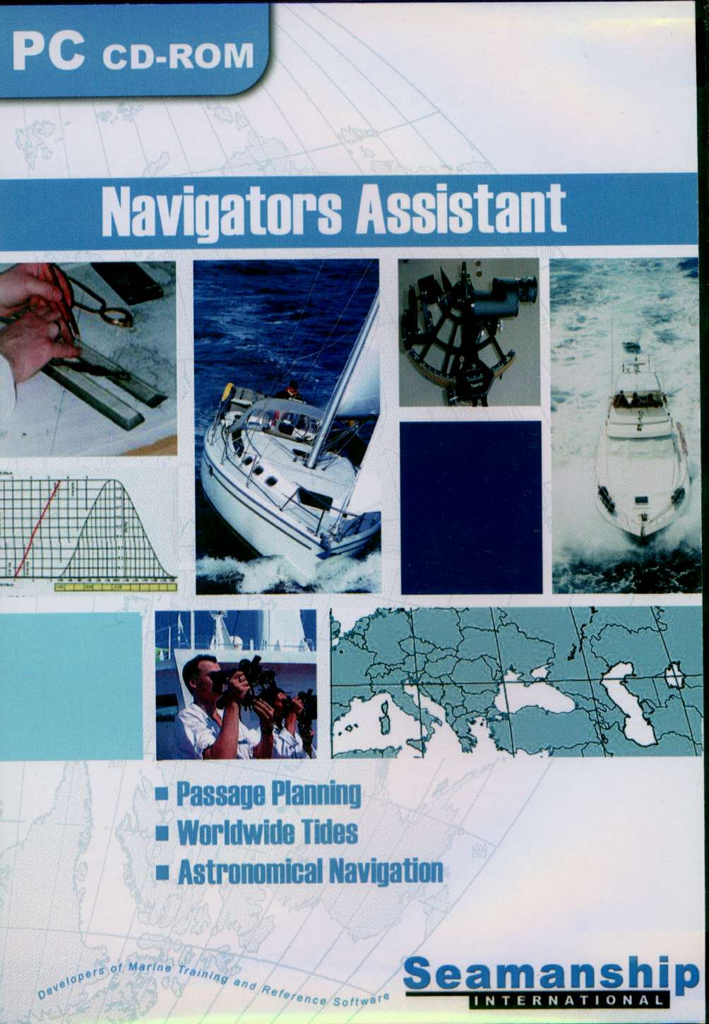
Navigators Assistant by Seamanship International is a British entry into the U.S. market for computer navigation programs . Seamanship International produces a wide range of programs for the professional mariner, large ship Captains, Chief Mates, First Mates, etc. This is their first attempt at reaching the small boat, yachting market.
At a price of approximately $200, Navigator’s Assistant is in direct competition with such well known programs as The Cap’n First Mate or Voyageur, Maptech’s Offshore Navigator and Nobeltec’s Visual Navigation Series.
|
All modern charting software at this stage of evolution can be expected to display digitized charts or vector charts, plan voyages, enter waypoints, create routes, assess Tides and Currents, calculate Estimated Time of Arrival (ETA) and fuel consumption. The next step is integration both with a GPS and other instruments. This takes the manual entry away from rocker keys and such on small GPS units which are often prone to human error. When you finally bring the computer aboard you have another version of a chartplotter with all the computer’s power in real time. This is a quick summary of “computer navigation.”
Passage or voyage planning in Navigators Assistant is done by imputing and storing waypoints. The program then calculates the distances and provides courses between waypoints in true bearings. This enables the user to review complex voyages and modify or repeat them with minimal work. Any of the previous mentioned programs allow the user to input waypoints by clicking on the chart. This function is not available in Navigators Assistant because it does not have the capability of imputing any chart of either vector or bitmap format. This leaves the user with the tedious task of reading the paper chart, writing down the waypoints and then imputing them into the program via keyboard. The waypoints can then be uploaded into the GPS via a standard NMEA 0183 connection.
The distance program provides links to major ports around the world which are all clearly displayed via the onscreen chart. This is easier stated than done and it doesn’t go any further. For example as a small boat operator, what does it mean to me to have the largest port destinations displayed. I really want to go to one of a half dozen small boat harbors anyway, some of which may be in the major port. Few if any of these are displayed. While I can easily get the distance from New York to Glascow this information is equally easy to get off of most handheld GPS units. The literature describes this function as, “This unique clear onscreen facility makes it superior to any other program and is most useful for bunker or voyage estimation calculations.” Bunker translates in practical terms to how many thousands of gallons of fuel you are likely to use and how to distribute weight on a large vessel while you are using that fuel.
The most unique module in the package is the Celestial Navigation. It calculates the ships position using star observations without input from a nautical almanac. And, it uses a star fix wizard to help the user prepare for star observations. If you want to actually use your sextant and are overwhelmed by the formulas, worksheets, etc., this would give you a tool to jump start use.
The Tidal Program module is excellent. It is a copy of or based on the UK Maritime and Coastguard Agency (MCA), worldwide tides covering over 4,600 locations. It eliminates calculations. It is user friendly and also accepts inputs from depth sounders which are then translated into a depth graph leading to grounding depth. It gives a lot of necessary information for planning purposes, but makes no attempt to deal with currents which to underpowered small boat folks are equally important to grounding or mast clearances.
Conclusions/Recommendations
Most computer navigation programs are following similar developmental lines. A few years ago there were dramatic differences in displays, how well programs executed basic functions and integration capabilities. This is not generally true anymore.
Navigation planning is the first major function. It keeps the armchair sailor dreaming and hopefully well prepared. This is also the most likely function that will be done on the desktop computer at home. This is where you will develop your waypoints for your routes to be uploaded into both your onboard GPS and your handheld GPS. This program is woefully inadequate because it will not load any chart types. This means that you have to transcribe waypoints from a paper chart into the program. In my experience, most waypoint errors occur right here either by misreading the chart or by inputting directly to the GPS with the small buttons and rocker keys. Inputting waypoints in this program is somewhat cumbersome. Picture a small spreadsheet all set up to accept your data. Click where you want it to go and type, Right? No. You must choose a line, go to another frame and click “Add,” then choose the line that has all “0s,” type in the info in the top lefthand box above the spreadsheet and finally click “OK.”
After the waypoints and routes are inputted, navigators like to see information on lights, hazards, Tides and Currents, and, control zones at the least. While Tides are readily available in this program, no current information is there and also none of the rest. Some of the other programs even give you pictures of the harbors, and provide extensive information regarding each. This allows the amateur navigator to be better prepared and do a much better job of navigation.
The second major function is actually navigating. Before you actually get underway with the program in place. Many navigators will use the program in the simulator mode and watch their vessel sail across the chart. Obviously, this is not possible in this program because of no chart input.
I have no doubt that this program will integrate to the point that a route could be executed by an autopilot. The Celestial Navigation module would be excellent as a stand alone product. The Worldwide Tides module is good but not great because it lacks any current information. Navigator’s Assistant does not give enough useful information to be a good planning tool. I look for computer assisted navigation to help the amateur navigator become much better by helping that person avoid missing critical items. This program requires you to know a lot about navigation so you know what is not in the program. There are some powerful tools here, but it needs to be redesigned for the small boat operator.
Capt Thom Burns is a retired naval officer who served as assistant navigator. He is co-owner of Northern Breezes Sailing School and teaches navigation both on and off the water.
Email from Seamanship International
Capt Burns is correct in the program was compiled for Merchant Marine.
The three key areas of the program are the 1) Celestial Nav, 2) Tides, 3) Passage planning.
It is one of our guys who built celestial nav, but the other elements are licenced in.
The distance program is being strongly considered to be removed as its not huge added value and although contains valuable info is not the easiest to use.
We are also considering the celestial nav program on its own as Capt Burns has also highlighted.
Best Regards
Iain MacNeil
Seamanship International