 |
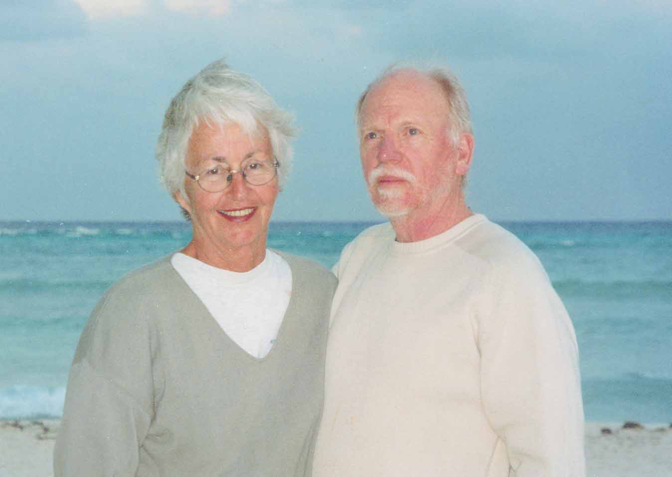
| The authors |
The
St. Lawrence River:
Pathway to the Canadian Maritimes
By Jim Hawkins and Elinor Adams
|
|
| The authors |
The River
Those who live along the St. Lawrence
River and consider it their primary
cruising grounds move their boats up and
down the river freely hopping the flood
here and the ebb there to get to the
weekend gathering of friends. They will
travel from Quebec City up river through
the Richelieu Rapids to Kingston for
race week. Only weather, and they all
emphasize weather, holds them back. They
know the river and its moods well. If
you can capture one of them for a beer
and conversation take along a note pad.
Most of those interested in gathering
information on transiting the river see
it as merely a path to somewhere else.
Perhaps you are speeding to
Newfoundland, for the jump across the
pond to Ireland. Or possibly the lure of
the Madeline Islands, Nova Scotia, or
even Labrador is impossible to resist.
You may pass down the river only once
never to return again. Everything is new
and the river has its own mysteries. You
do it and then its over. Because of the
evanescent nature of the passage, one
may be tempted to just follow the buoys
and get on with it. The goal of this
report is to eliminate unnecessary
mysteries of the river so you may be
safer and truly enjoy your transit.
An imaginary line between Kingston, ON
and Cape Vincent on the American side is
often considered the start of the river.
Most sail-boaters coming from the west
will likely want to begin their
experience of the Thousand Islands in
the Canadian Middle Channel and one way
or another work in a stop in Kingston
possibly via the Bay of Quinte or with a
pause at Main Duck Island on the way up
from a New Your port. Unless you are in
a huge hurry to get east, dallying a few
days in the Islands is worth it. (For
those coming up from points south by way
of Lake Champlain the river “begins” at
Sorel at the mouth of the Richelieu
River.)
It is in the Thousand Islands that you
will first begin to feel the power of
the river as a current of about a half
knot is noticeable. And as you leave the
Islands via the Brockport Narrows, the
current increases for a short distance
to as much as three knots. In general,
you can expect the current under your
keel to gradually increase. The current
boost adds many miles of distance made
good to your boat’s normal speed per
day. It makes rushing through the river
possible, may even make it mentally
difficult to slow down.
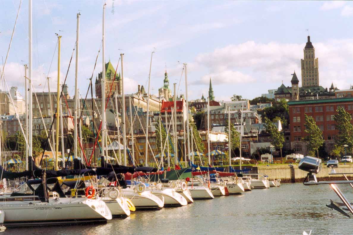 |
| Quebec harbor marina with old city nearby. |
The river is often quite wide, but as a
sail-boater, you will find the river
oddly constraining despite the added
boost from the current. With the current
carrying you along, you will be able to
put up your sails even if you are able
to sail at only three knots. Sailing in
each of the “lakes” is even likely given
the prevailing westerly winds. But you
may feel controlled by the river as
indeed you are. The depths outside the
channel are often quite shallow. Few
will want to take much of a chance
leaving a buoy on the wrong side. In
some areas the edges of the channel are
rock, not mud. You may quickly have to
douse sails and turn on the engine if
the wind is not just right so that you
can make the next twitch in the channel.
It can be mentally disconcerting and
wrongly, I believe, cause you to use the
engine more than necessary.
You will develop the habit of ticking
off each buoy as you pass, especially
where the buoys are spaced far apart.
Even then it is easy to become
momentarily confused when the channel
takes a jog or a side channel departs
with its own set of buoys. When this
happens, stop, turn on the GPS and get
re-oriented. In some areas the chart
shows a separately buoyed small boat
channel. Satisfactory depths may be
found and the current may be less. It
can be fun and you won’t have to dodge
the big guys.
You will not notice it much, but you are
actually under the control of the
managers of the St. Lawrence Seaway.
They can tell you exactly what to do and
when if need be. You will feel their
presence mainly at the locks. Find out
which VHF channels the lockmasters are
using and you will get a sense of the
Seaway Control. Masters and Pilots of
the big ships are remarkably
deferential.
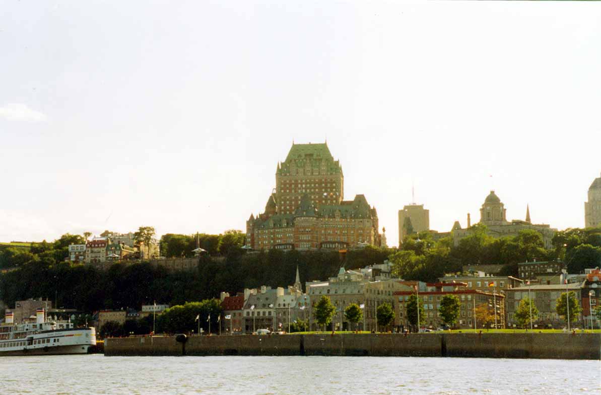 |
| The magnificent Frontenac Hotel on the bluff above the old city from the River. |
There are seven locks in this section of
the river. The first, Iroquois, is
simply a leveling lock and may drop you
a few inches to a few feet depending on
water levels in the river. Usually you
just float at idle in the water until
the gate opens at the downstream end.
The next two locks are on the American
side and are the easiest to manage as
they have floating bollards built into
the side walls of the lock over which
you loop your own dock lines. The
remaining locks are Canadian. In these,
the line handlers will drop you lines
with which to steady your boat. As you
are going downstream, the turbulence in
the locks is minimal. You will have more
trouble with the wind whistling down
into the lock pushing the boat this way
and that.
You will be required to wait on the
commercial traffic to clear. This could
take a number of tedious hours. And if
pleasure boat traffic is heavy, you may
be required to raft with other boats in
the lock. At each lock there is a
pleasure craft dock on the side you will
tie up to when in the lock. You can
remain overnight at these tie-up docks
if you arrive later in the day. (The
Seaway handbook lists the locks and
tie-up side so you can prepare.) But
with heavy pleasure boat traffic, there
may be no room at the dock. You are then
dependent on the good will of those
already there to offer a raft up.
Sometimes there is anchoring in 10-20
feet, more often in 30 feet. The
Canadian locks cost $20 each either CN
or US. The American locks charge $20US
or $30CN each. Thus, some attention to
the prevailing exchange rate is wise.
Both countries want exact amounts.
The big boats, there are many of them,
want their half in the middle. You would
be wise not to meet one coming upstream
under a bridge or in an otherwise
restricted channel when the big one is
moving at speed. There will be room for
you both, but the quarter wave bucking
the current can be brutal. So give them
room and go slow after they pass until
the wake has settled down.
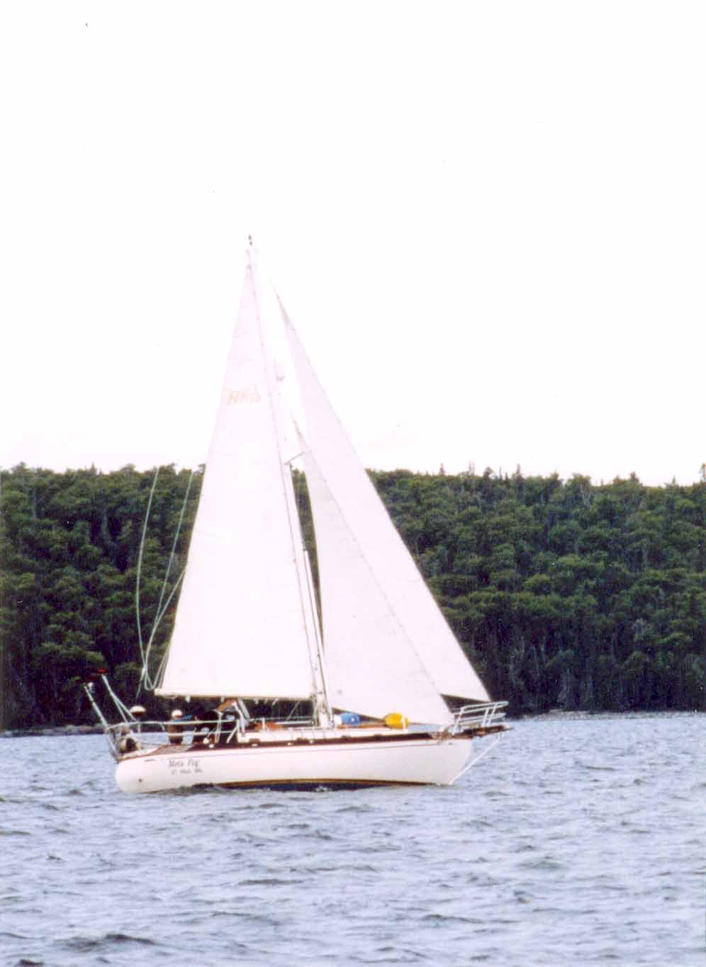 |
| The authors’ Baba 30 Meta Fog. |
As one moves farther east and north,
marine services become increasingly
scarce. Fuel, water, and pump-outs are
frequent enough, but repair facilities
are not. From eastern Ontario to Quebec
City the yard most mentioned as full and
complete is the Boulet/Lemelin Yacht
facility (yachts@blyachts.com or 800 463
4571 in Sillery, near Quebec City. The
yard is located in the same basin as the
Yacht Club de Quebec. Reportedly, yachts
from as far upstream as Lake Chaplain
and very far downstream travel there for
repairs or winter storage. At least one
circumnavigating yacht was in repair
there in 2003. Otherwise, there are a
variety of mobile repair companies that
will come to your boat towing a
substantial trailer load of supplies.
Beyond Quebec City, repair facilities
become even scarcer and farther apart. A
mechanical breakdown or an inadvertent
grounding requiring a tow could be
costly. Towing insurance in a
substantial amount is recommended.
Partial List of Anchorages: Thousand
Islands to Quebec City
The guides provide adequate information
on marinas, but offer variable
information on anchorages between the
Thousand Islands and Quebec City. Below
is a list of some anchorages, in order,
going downstream from the Thousand
Islands. We have personally used some of
them, perused others, and selected still
others which appear suitable for
sailboats suggested by other sources.
Anchoring with easy access to Montreal
or Quebec City is almost impossible with
exceptions noted below, but the guides
provide complete information on marinas
close to both cities.
There are many other places to anchor
depending on your ingenuity. However,
without clear reason to the contrary,
you should assume the bottom is rocky.
Anywhere the chart notes a mud bottom in a location with protection is worth a try, but a mud bottom almost always means thick grass and weeds so extra time and effort will be required to retrieve anchors. Where a tributary enters the main river, there may well be a silt outflow offering anchoring possibilities even if the chart itself is ambiguous as to the nature of the bottom.
Downstream of the Thousand Islands, a
convenient anchorage is in Morristown,
NY, across the river from Brockville.
You can anchor there in 10-12 feet
behind the floating breakwater out of
the fairway in mud.
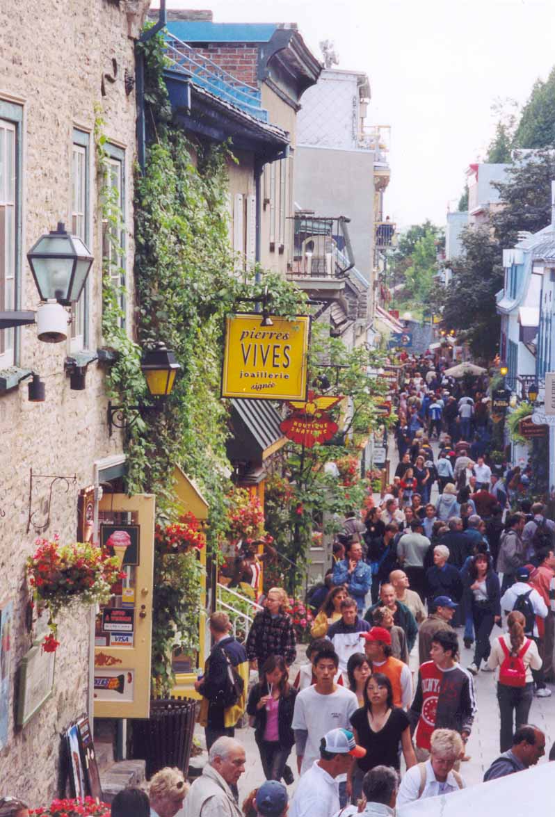 |
| Tourist group in the old city. |
There are several options as you
approach Lake St. Lawrence. One
convenient option lies NE of the most
easterly of the Croil Islands, about
one-quarter mile north of buoy R50 in
mud.
There appears to be good anchoring near
the east end of Cornwall Island to the
north of Pilon Island. An anchorage
south of St. Regis Island is reported.
Near the lower end of Lac St. Franscios,
is a buoyed secondary channel (shown on
the chart) that leads to the small
harbor of Salaberry-de-Valleyfield. It
offers a pleasant stop before entering
the Beauharnois Canal. The small harbor
is busy on weekends as the parade of
powerboats hurries to the foot of the
bay to round the water fountain and rush
back out. The harbor is open to the SW,
but you can get far enough in to be safe
in summer weather. Here is the first
place where the predominance of French
language speakers is noticed. This
location, about 25 miles short of
Montreal, offers access to the city via
public transportation. The bus station
is a 20 minute walk where you board for
the Agrignon Station, transfer to the
subway, and step off just ten minutes
from the old city. Prior to the return
trip, it is best to relieve yourself as
the Agrignon Station has no restroom
facilities! The marina at Lachine offers
similar access.
Just as you are about to enter the Canal
de la Rive Sud for the long trip around
the Lachine Rapids and Montreal lies Ile
Tekakwitha. South of marker FY is an
anchorage in 12-20 feet, mud, protected
from all but a strong SW. If you intend
to bypass Montreal altogether or if you
arrive late and do not want to chance
finishing the long canal and locks after
dark this is a good place to spend the
night as stopping anywhere in the canal
is not permitted.
You will find a buoyed channel into the
marina at Languiuel downstream from the
Canal de la Rive Sud (past the moorings)
as noted on the chart. Utilize the
channel as if entering the marina, but
turn upstream out of the channel to
anchor near the moorings.
Given the strong current and no more
locks, the stretches from Montreal to
Sorel and Sorel to Trois-Rivieres are
easy one-day ventures. Note, however, a
lovely quiet anchorage lying between low
islands offering good protection about
10 miles north of Montreal. Enter the
anchorage between Ilet Vert and Ile
Deslauriers and round into the channel
between Ile a L’Aigle and the unnamed
islet to the east on the chart. A number
of options farther in are present
depending on the protection you need.
Anchor in 10-20 feet in mud and a
two-three knot current.
A little further along, Skipper Bob
reports on what he calls the best
anchorage between Montreal and Sorel.
Leaving the main channel via the narrow
pass north of Ile aux Rats you can find
sites along the buoyed channel behind
the islands.
The chart shows an anchorage near the
mouth of the Riviere Richelieu, but it
is not protected from current, wind, or
wave action. However, a few miles
further a group of low islands at the
south end of Lac Saint Pierre provide
beauty and good protection. An easy
entry lies north of buoy S130 between
Ile aux Carbeaux and Ile Lapierre, but
there are many options in this group. Be
aware, some of the entries are blocked
with water level control barriers.
At Trois-Rivieres, anchor in the Riviere
St. Maurice to the west of Ile St.
Quentin upstream of the swimming beach
in 10-20 feet. Leave buoy C52 to port
avoiding a rock in six feet reportedly
near the first nine-foot spot on the
chart.
Trois-Rivieres to Quebec City
Beyond Trois-Rivieres the river changes
character as tidal influence becomes
significant. The Richelieu Rapids can be
intimidating, but the main difficulties
(though hardly hazardous) for a deep
draft boat are the rips and boils. With
careful planning you can choose to go
through with a “slow” current, but you
may still register 11 knots over the
ground for a short stretch. At this
point the Sailing Directions ATL 112 and
a tide reference are extremely helpful.
Slack water after high tide lasts as
little as 20 minutes. At low tide, the
current continues to run out slowly for
another hour or so with local
variations.
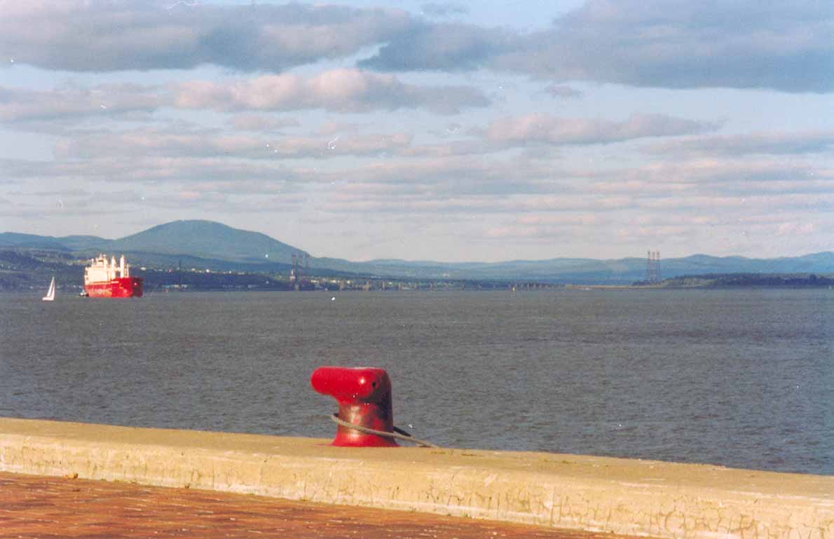 |
| Looking downstream
from Quebec harbor with
one of many “saltys” in
the view. |
It is possible to cover the 67 miles in
one day: A vessel traveling at six-seven
knots should leave Trois-Rivieres eight
hours before low tide at Quebec. Faster
boats can leave five-seven hours before
low tide while slower boats should leave
nine-ten hours before low tide at
Quebec, but this means a fair amount of
pushing into the flood and/or traveling
in the dark.
A better way for a slower boat, I
believe, is to take two days. For the
fastest passage with time to spare
before the tide reverses, you would
leave Tres Rivieres at local high tide
slack. Portneuf lies about half-way to
Quebec City just past the Richelieu
Rapids. Deep draft boats can enter the
marina at any tide. One boat known to us
anchored just downstream behind the
Portneuf breakwater laying a second hook
into deeper water as a precaution. An
anchorage in eight feet at low tide with
a sand bottom lies directly across the
river and shows on the chart. Anchor on
either side of the old wharf. Locals use
this as a weekend anchor-out spot and
reportedly enjoy the sand beach located
there. Others use it to await a change
in tide. In a pinch, you can tie outside
the Portneuf wharf, but due to the tidal
range you may need to tend lines.
Another good “half-way” option is the
Neuville marina 10 miles further
downstream. Accurate instructions for
entering are given in the Sailing
Directions. When continuing on from this
marina, you may head downstream directly
from the breakwater at any tide by
angling toward the south end of the
suspension bridge visible in the
distance. To move quickly on to Quebec
City, leave at local high tide.
In Sillery, just before Quebec City
itself, anchor among the moorings in
sand adjacent to the Yacht Club de
Quebec. While the current runs strong in
both directions in the channel, it is
much reduced through the moorings To
easily visit Quebec City, take a slip at
the Port Authourity Marina which is only
a ten minute walk from the old city.
Quebec City to Tadoussac
A little way past Quebec City, you
encounter salt water for the first time.
Tidal influence is, if anything, more of
a factor and the river current is still
strong. Most of the marinas, with
significant exceptions, dry at low tide.
Keelboats can enter at half-tide, or
above but sit down in mud when low tide
arrives. In contrast to the portions of
the river described so far, staying in
the big-boat channel all the way is not
the preferred path. For example, Cap-a-L’Aigle,
the first marina with access at low
tide, can be reached in one day by
leaving Ils aux Coudres far to port
while following one of the “old”
sailboat channels. The ebb tide plus the
river current can reach nine knots here
making it feasible for even a slow boat
to traverse 70 miles in a day.
Typically, one leaves Quebec a couple of
hours before high tide and arrives at
Cap-a-L’Aigle before or just after the
flood begins.
Anchorages are available all the way
out, but some are exposed to NE or SW
winds. Timed right, marinas that dry can
be visited. So this 70-mile section of
the river can be covered in one or many
days. Marinas, anchorages, tidal
currents, routes, and cautionary notes
are so well described in “St. Lawrence
River and Quebec Waterways” that
additional advice here would be
superfluous.
Shallows and islands pepper the river up
to Tadoussac contributing to severe rips
and overfalls where the bottom interacts
with swift currents. Rips are further
enhanced due to the outflow of the
Saguenay River, a significant river in
its own right. These complicate a visit
to the whale sanctuary and entry into
the Saguenay fjord. Combining anchorages
and marinas in tandem on both sides of
the river provides many options for
enjoying the river and managing the
demands of wind, tide, and current.
Tadoussac to
Cap Rosiers
Below Tadoussac, you start to feel you
are truly in the ocean. The outflow from
the Saguenay River tends to stay near
the surface as it trends to the south
side of the St. Lawrence. It serves to
keep the south side of the increasingly
wide river warmer while reducing the
already diminished flood all the way to
the tip of the Gaspe’. Still, a strong
east wind against the current can make
for an uncomfortable chop. Cold water
wells up on the deeper north side of the
river, the turbulence enhancing the food
supply for the whales. But the north
side offers more remote and, for some,
more interesting, if colder, cruising.
Careful planning and attention to the
tidal range is still required to assure
access to marinas or anchorages.
Passing out of the St. Lawrence, one is
presented with a bewildering array of
cruising destinations. Turning south
takes you to the Gulf coast of New
Brunswick and on to Nova Scotia. To the
east lay the Isles de Madeline and
beyond them the west and south coasts of
Newfoundland or the east entrance to
Cape Breton. To the northeast the Belle
Isle Strait gives access to Labrador and
the east coast of Newfoundland.
The St. Lawrence River is a cruise in
itself with plenty of excitement and
challenges to satisfy the most seasoned
crew. But the river also opens the way
to some of the most beautiful and, yes,
challenging cruising in the world, the
Canadian Maritimes.
Jim Hawkins and Elinor Adams are
starting their second extended cruising
adventure. Stay tuned.